
Page 246 - Lanzarotto Malocello from Italy to the Canary Islands
P. 246
246 from Italy to the Canary Islands
and one by land very costly indeed.
Necessity being “the mother of inven-
tion”, it was rightly the Genoese who
made navigation tools that allowed
their ships to make longer and saf-
er trips.
Here, too, we are aided by
the aforementioned Caddeo (le
navigazioni atlantiche [The
Atlantic navigations], op. cit.,
1928, p. 21), who relates a cu-
rious anecdote that – when read
between the lines – makes us
realize the importance taken on
by the Genoese in the navigation
of the Mediterranean. King Louis
IX of France, commonly known as
Saint Louis, who in 1270 launched the
Last Crusade in history, had “contracted”
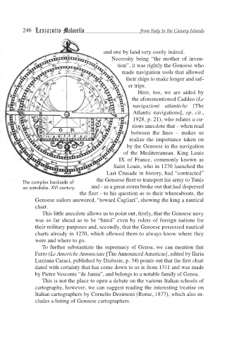
The complex backside of the Genoese fleet to transport his army to Tunis
an astrolabe. XVI century. and - as a great storm broke out that had dispersed
the fleet - to his question as to their whereabouts, the
Genoese sailors answered, “toward Cagliari”, showing the king a nautical
chart.
This little anecdote allows us to point out, firstly, that the Genoese navy
was so far ahead as to be “hired” even by rulers of foreign nations for
their military purposes and, secondly, that the Genoese possessed nautical
charts already in 1270, which allowed them to always know where they
were and where to go.
To further substantiate the supremacy of Genoa, we can mention that
Ferro (Le Americhe Annunciate [The Announced Americas], edited by Ilaria
Luzzana Caraci, published by Diabasis, p. 34) points out that the first chart
dated with certainty that has come down to us is from 1311 and was made
by Pietro Vesconte “de Janua”, and belongs to a notable family of Genoa.
This is not the place to open a debate on the various Italian schools of
cartography, however, we can suggest reading the interesting treatise on
Italian cartographers by Cornelio Desimoni (Rome, 1877), which also in-
cludes a listing of Genoese cartographers.